

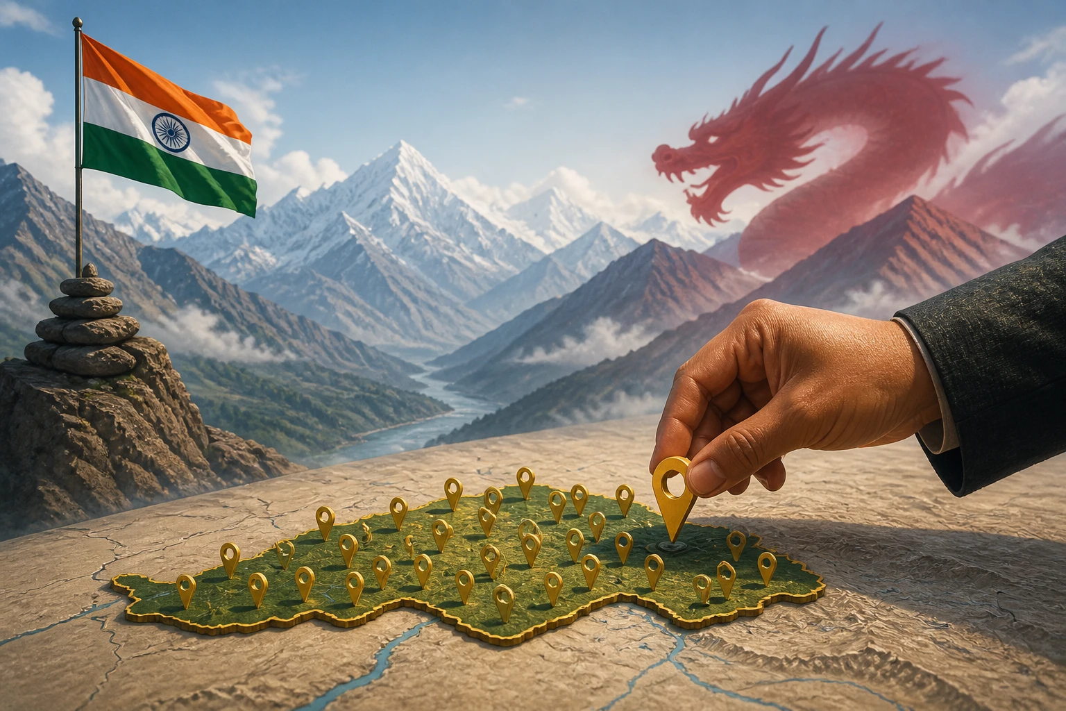
In the quiet bureaucratic language of the Ministry of Home Affairs, the announcement made on August 7 was phrased with studied restraint: the government had "identified" 27 places in Arunachal Pradesh on official Survey of India maps to "facilitate accurate recognition" and improve "public awareness." Nothing about Beijing. Nothing about a provocation. And yet everyone in the room knew exactly what it was.
China Has Been Playing This Game for Nearly a Decade
China first issued standardised names for six Arunachal locations in April 2017, followed by lists of 15 in December 2021, 11 in April 2023, 30 in March 2024, and 27 in May 2025. With its most recent exercise in April 2026, Beijing has now renamed more than 90 locations in the state.
The method is deliberate. Each batch includes precise coordinates for every place, and names in Chinese characters, Tibetan script, and Pinyin. This isn't cartographic housekeeping — it is the bureaucratic construction of a rival reality. Beijing claims roughly 90,000 sq km of Arunachal Pradesh as its own, calling it Zangnan, or South Tibet. India has consistently pushed back verbally, but words alone don't survive on maps.
India's Response: Put It in Writing — Literally
On August 7, 2026, acting on an MHA directive and in consultation with the Arunachal Pradesh government, the Survey of India officially recorded 27 significant locations and geographical features of the state on its maps using their standard Indian names.
The list reads like a strategic inventory. Longju, situated along the Line of Actual Control, was one of the earliest flashpoints between India and China in 1959, when Chinese forces entered the area. It is joined by high-altitude passes — Dzo La, Riza La, Pukur La — and the historically significant Thag La, where one of the opening battles of the 1962 war took place. Two sites of particular military resonance — Jaswant Garh and the Sher-e-Thapa Memorial — have also been officially recorded.
These are not obscure coordinates. They are locations where Indian soldiers died, where patrols still walk, and where the physical boundary of sovereignty is contested in real time.
The Logic of Cartographic Sovereignty
There is a reason India framed this as an administrative act rather than a diplomatic protest. Official maps carry legal weight — in international law, in boundary negotiations, and in establishing facts on the ground over time. By recording these locations on the official map of the Survey of India, India's stated position has been given a more institutionalised basis.
The move also comes as India and China continue diplomatic engagement on border issues: at their 36th Working Mechanism for Consultation and Coordination meeting on August 6, both sides agreed to continue using diplomatic and military channels to manage outstanding issues along the LAC.
The message India is sending, then, is calibrated: we can engage at the table and assert on the map at the same time. Sovereignty isn't declared — it is documented, updated, and maintained. Beijing has understood this for years. New Delhi has now joined that conversation on its own terms.
Sources
- Why China keeps renaming places in Arunachal Pradesh, and why India can’t ignore it
- China again reasserts Tibet claim by renaming 27 place names in Arunachal - Tibetan Review
- india%2Farunachal pradesh%2Fsenseless attempts mea hits back at china renaming places in arunachal 2961436
- India counters China’s map politics with 27 Arunachal names
- India Officially Identifies 27 Places in Arunachal Pradesh
- India Maps 27 Arunachal Locations, Including China-Held Longju, Amid Beijing’s Renaming Push - The Logical Indian