Overview
Picture this: you're driving down a national highway and encounter yet another construction zone causing massive delays. Your GPS is confused, Google Maps shows conflicting routes, and there's no clear information about when this nightmare will end. Sound familiar? Well, the National Highway Authority of India (NHAI) just rolled out a surprisingly simple solution that could transform how we navigate India's road network. They've introduced QR code-enabled Project Information Sign Boards across national highways, turning static construction boards into dynamic information hubs. It's a small change with potentially massive implications for India's 96,000+ kilometers of national highway network.
Here's What's Happening
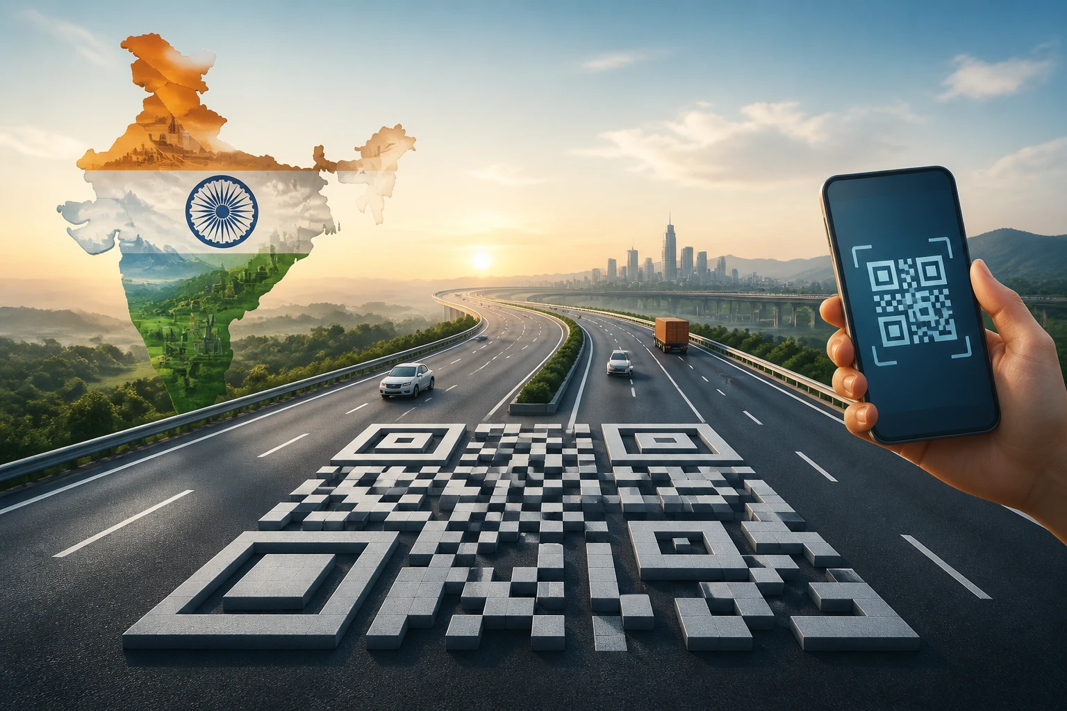
NHAI has begun installing these smart sign boards at construction sites across major national highways. Instead of the usual "Work in Progress - Inconvenience Regretted" boards that tell you nothing useful, these new boards feature prominent QR codes that travelers can scan with their smartphones.
Within seconds of scanning, you get access to real-time project updates, expected completion dates, current progress status, and most importantly - suggested alternative routes. The system provides information in multiple languages and updates automatically as project timelines change. Early deployments have already started appearing on key corridors including the Delhi-Mumbai Expressway and Golden Quadrilateral projects, with plans to scale across the entire national highway network by 2024.
Let's Break This Down
This isn't just about fancy technology - it's solving a genuine pain point that affects millions of Indian travelers daily. Consider that India's national highways carry over 40% of the country's freight traffic and connect every major city. When construction projects cause delays, the ripple effects are enormous.
The traditional approach was essentially "figure it out yourself." Construction boards provided minimal information, leaving drivers to make blind decisions about whether to wait it out or find alternative routes. Local drivers might know shortcuts, but interstate travelers were often stuck for hours without any clarity.
These QR code boards work like having a knowledgeable local guide in your pocket. Scan the code, and you immediately know if the project will take 6 more months or 6 more weeks to complete. You get suggested detours that are actually viable, not just theoretical alternatives that add 200 extra kilometers to your journey.
The data integration is particularly clever. The system pulls information directly from NHAI's project management databases, meaning updates happen automatically as contractors report progress. If a project gets delayed due to monsoon rains or material shortages, travelers know about it in real-time rather than discovering it after sitting in traffic for an hour.
From a transparency perspective, this is revolutionary for Indian infrastructure. Citizens can now track exactly how their tax money is being spent on highway projects, see if contractors are meeting deadlines, and hold authorities accountable for delays.
The Bigger Picture
This initiative reflects a broader digital transformation happening across Indian governance. Just as UPI revolutionized payments by making them frictionless, these QR codes are making government information instantly accessible.
For logistics companies managing truck fleets worth crores, real-time construction updates can save thousands of rupees daily in fuel costs and delays. E-commerce companies promising next-day delivery can now factor accurate highway conditions into their routing algorithms. Even individual travelers can make better decisions about when to start their journeys.
The tourism industry stands to benefit significantly. Nothing kills a road trip faster than getting stuck in unexpected construction traffic for hours. With advance information, travelers can plan better routes or adjust timing to avoid peak construction activity.
However, the success depends heavily on adoption and data accuracy. If the information isn't updated regularly or if travelers don't know about the feature, these become expensive digital billboards with limited impact.
What's Next?
NHAI plans to expand this system beyond just construction updates. Future iterations could include real-time traffic density, weather conditions, fuel station locations, and even integration with navigation apps like Google Maps and MapMyIndia.
The bigger question is whether other states will adopt similar systems for their road networks. If successful, this could become the standard for infrastructure projects across India, extending beyond highways to urban development, metro construction, and other public works.
For India's young, smartphone-savvy population, this represents exactly the kind of governance innovation they expect - simple, useful, and leveraging technology they already use daily. It's a small step toward making Indian roads not just better built, but better managed.